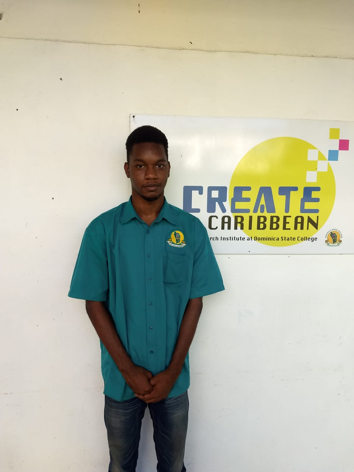
Becoming an Intern at Create

By Joanna Joseph

When I first got an email from this institution to become an intern, I was astonished. To be honest, I only knew that Create Caribbean was a research center at the Dominica State College. I was beginning to wonder why should I be chosen to do research when my major is information technology and entrepreneurship. When I got accepted as one of the chosen interns, I asked questions and went on the Create Caribbean page. 

For the past months I have leant that this institution is more than just a research institution. At this point I finally understood why my major (Information Technology) was important for this internship program. I learnt that this institution uses information communication technology (ICT), code, geographic locations and the latest research developed tools. Basically, this institution looks at ways to improve our Caribbean countries, and this was done by the use of ArcGIS.

First, the other interns and myself had to help edit and add information to a spreadsheet. This spreadsheet was to be executed via the Carisealand project. The use of ICT was my favorite part, as it allowed me to use my information technology skills. 

Doing research was never my thing, but I never hated it. However, after working on the Carisealand project, my research skills have improved and it has enhanced my information technology skills. I plan on learning more about the Caribbean countries, improving my skills on ArcGIS and the Carisealand project.

My Create Caribbean Internship

By Mia Bruno

Preceding the day that I received an email from Create Caribbean, I had no idea what it entailed as I had never even heard of it before. I even thought that the email might have been a mistake, but I am very happy that it wasn’t. After reading its contents, it appeared to me that Create Caribbean was a program which involved only research and data collection, but soon after I was enlightened with the reality that its contents were much deeper. From the very first day upon joining the internship, I learned new things every day about Create. When I gained knowledge that we would look into the aspect of climate change and other global social problems like world hunger and poverty, it enlightened me as this topic has always been of great interest to me.

 I have to admit that it was not the smoothest journey in the beginning, as learning how to use the digital tools was very new to me. Being a Math and Biology major, digital technology was not exactly my forte, and I wouldn’t consider myself to be extremely tech savvy. But from experimenting with the tools and re-watching videos on their proper use, I can confidently say that I am getting the hang of it. I am forever grateful for what Create has taught me and what it is teaching me at present. 

Through this platform, I have gained awareness and knowledge on the use and applicability of ArcGIS, which I was also unaware about beforehand. Partaking in mapping activities which ranged from inputting location coordinates for places within different countries to writing detailed summaries of Caribbean countries has definitely helped me to gain both experience and the opportunity to apply my newly acquired knowledge. I learned how to use Google Maps in more ways than I could have ever imagined, other than only locating places. I have learned so much more about our culture thus far, including the Creole language and the many changes which have transpired in some of our communities from back then, until today. I also look forward to delving deeper into the history of our communities, specifically in reference to The Lab, and discovering the changes that have occurred.

Learning about the Caribbean and our Environment

By Gribran Esprit

Create Caribbean is an Institute that preserves the Caribbean culture and heritage. Being an intern at Create means that everyone is tasked with working on research projects on the Caribbean such as mapping. Presently, we are working on a project called the Carisealand project which entails an alternative Caribbean future to sustainable living. It is also a “multi-disciplinary project that explores how Caribbean people navigate the social, environmental and economic impacts of climate change and disaster vulnerability”. Regarding the project, each intern was given a Caribbean country to look up and fill in a spreadsheet the country’s various environmental sites, companies or organizations. We were also tasked to place links and other information into the table for resource purposes.

The country that was assigned to me is Trinidad. Trinidad is a country well known for manufacturing and still it contains great environmental sites. It is also a popular tourist destination in the Caribbean. Gathering information on Trinidad was quite difficult because some organizations and companies which were once active were no longer operating. Additionally, filing in the spreadsheet table took me some time to finish since I had very little time to work on it and the research materials were limited. Other than these minor issues, the project was otherwise easy to complete, fun to research, and increased my knowledge of other countries’ sites and the way they protect their environment.

Finally, without the help and patience of the other interns and instructors, I would be lost and unsure of what was expected of me. 

Moving Forward

By Kaila-Ann Guiste

This semester at Create we finally completed the sheet for the mapping of resources in ArcGIS. In addition, I had the opportunity to become more adept in ArcGIS, other mapping software and Twine in my downtime.  Going through the spreadsheet gave me greater awareness of places in the Caribbean dedicated to the fight against climate change and how they worked. As a result, I began contemplating how we can break bad habits that are a part of our lifestyle but damage our precious Dominica. In addition, the google algorithm, because of my searches, currently gives me news and updates from the countries I worked on. This makes me more involved in regional news and activities. Seeing the points display on the map properly after all that tedious work really made it worth it.

This semester’s interactions were completely online and low contact, but this did not affect the comfortable atmosphere in meetings or work distribution. At the beginning of lockdown in March, transferring to zoom and online work was difficult, and I expected the same difficulties with the increased online interaction, but it was actually fine despite testing my self-discipline. We began getting into another project that I am very excited about called The Lab. In this project, we envision a sustainable future for the village of Mahaut. I look forward to what’s ahead.

Pursuing Novel Experiences

By Jahres Peter

Before I became a Create intern, I heard about the organization from their website. Their goals piqued my interest and caught my attention, which is one of the key reasons I joined. This semester at Create Caribbean as an intern, I got to use different tools. I was assigned to ensure that the current plotted various sites in the British Virgin Islands and St. Kitts and Nevis were correct with up-to-date information. At first glance it was a bit confusing, but over time I got used to it.

Ensuring that the locations were properly plotted at the correct coordinates was quite the task, and I took it on head first. Making sure that all the details were accurate and not outdated might have been challenging, but it was also a great experience for me. These tasks helped refined some of my skills and opened my view to a wider variety of topics that I can explore.

Additional work was needed to be done on the various Caribbean countries such as descriptions. I was assigned the country of Panama and was tasked with incorporating all the various details about the sites and features about the countries in a brief description. At Create, there’s never a moment when you’re alone with your work. If you have any issues or difficulties, there will always be someone there to assist you and help you back on the right track. 

Completing all of these tasks was not easy, but it was definitely rewarding getting a different perspective and improving my skills for the future. So far, being an intern at Create Caribbean has had no drawbacks for me and only brought in benefits and is a great experience.

My Create Intern Experience

By Tahj Pollock

I have been introduced to many interesting topics and scenarios relating to history and information technology at my internship at Create Caribbean. I feel myself growing every day as I obtain new information from working with Create. Although it gets tough at times trying to balance school and the internship, it feels very rewarding to accomplish the tasks given to me as I leave each session with something to show for it and experience.

As a Geography major, the work we do with ArcGIS, the tutorials and guidance given has been of great help to me and will make later encounters with it easier when pursuing Geography in the future. The other work we have done in digital humanities has also given me an opportunity to not only learn more about the technological aspect, but also the historical aspect that ties into the need for information and how it has changed. Though I may not have everything mastered in relation to ArcGIS, I have enjoyed taking steps in the right direction.

Thanks to the internship and the work we have done, I can say that not only am I pleased that I have come further than I was before working with them, but that I can enjoy working with them and have fun while learning and mastering the various software we will use in the future.

Creating New Opportunities

By Chelsea Bertrand

As a create intern, we are tasked with contributing to  interdisciplinary and multidisciplinary research projects on a wide variety of topics such as history, literature  arts social sciences, agriculture,  health sciences and information technology.  This semester (2019 – 2020), we Create Caribbean interns were tasked with completing specific areas with respect to the Carisealand project. All interns were given certain set coordinates to enter onto the ArcGIS software due to information being moved from its previous platform.  Interns were to ensure that these points were placed in their correct locations.  

As a science major, the usage of ArcGIS was very difficult.  My lack of experience in dealing with this software left me feeling very discouraged, especially after viewing a tutorial did nothing to ease my confusion.  Even at this point in time I have not fully grasped how to manipulate the software.  However, I can only blame myself as I have not been completely focused on the project due to the demands of my majors.  Trying to balance Create work, college work and a full time job has posed great difficulty for me.  My poor time management inhibited my ability to complete tasks within a timely manner as well as my ability to fully understand the ArcGIS.

However I am grateful for the opportunities that Create Caribbean has provided for me.  I would have never learnt how to use ArcGIS or adobe nor would I have learnt so much about the Cariseisland topics.  My research skills have also significantly improved after doing some investigative work for the Carisealand syllabus. I am very thankful for these technological skills that I would not have otherwise learnt on my own and I am excited to make use of them in the future.

Challenges and Newfound Knowledge

By Rhesa Lawrence

I’ve always heard about ArcGIS from my colleagues and Dr. Esprit from day one as a way to present our information to the public. During the process of previous research I have also encountered websites where ArcGIS has been used. This semester as we move across to a new site the opportunity to use the software has arrived. From just looking at the user interface I believed that using the software would be exceedingly difficult; however, after a couple of tutorials realization struck on how easy the software was to handle. Moving to the new site meant that all the work that was previously done- placement of important sites in each country- was now jumbled up. I was assigned the countries of St. Martin/St.Maarten and St. Vincent and the Grenadines. St. Martin/St.Maarten was easier to do than the St. Vincent and the Grenadines, maybe because it had less but also because the address point were more accurate than those in St. Vincent. My biggest challenge with that assignment was trying to make sure the points were as accurate as possible and that they depict the exact location of where the buildings or the national parks are. The only aspect of my assignment that is currently incomplete is the locating the different national parks and reserves in St. Vincent as well as populating ArcGIS with those points. 

Furthermore, for the semester creating a syllabus for my topic ‘Culture, Heritage and Information’ was also part of my intern to-do list. It was by far the most challenging part to date. Conducting the research has shown me how little I personally know about my heritage and culture. I have also shown me how easy certain parts of my culture is easy to learn. For example, the local patois/ kweyol(creole), there are books at the Documentation Center which translate a lot of short creole phrases that we often hear our grandparents and parents say. The syllabus was interesting to me as it was the first time I have ever had to do something like that. In the future I plan on finishing the last of the location for St. Vincent as well as learn as much as I can with the time I have left at Create

Linking the Caribbean and the rest of the World by our Fingertips

By Quisha Pascal

“Poverty is hunger. Poverty is lack of shelter. Poverty is being sick and not being able to see a doctor. Poverty is not having access to school and not knowing how to read. Poverty is not having a job, is fear for the future, living one day at a time” ~The World Bank Organization.

Under the Carisealand Project, I was given the task at hand to research the topic, Community Poverty and Environmental Justice. Further research was done, focusing on poverty throughout the Commonwealth of Dominica. The research was conducted on this last semester and was presented. However, this semester some necessary changes were made to the project as more information was added and I also extended my research towards the rest of the Caribbean. 

This semester, the final semester of the school year 2019-2020 we the Create interns were allotted the task of through our assignments to pitch into the Carisealand Project. We were tasked with the responsibility of placing coordinates from different key locations in the Caribbean into the arc gis software. We also had to ensure the coordinates plotted matched the location on the map. 

Difficulties that arose while working on this project as it was the first time using the software, arc gis. I learned so many things while working on this project that I didn’t know before. One thing I learned was how to successfully plot the coordinates in order for it to be visible on the map, after watching an extremely helpful tutorial. While plotting i stumbled onto another problem as the previous point plotted was no longer visible when i started plotting the next coordinates.  I soon realized that I had to click save after each plotted coordinate in order for them to be all visible. I haven’t fully apprehended all of the information there is to know about arc gis but in due time I will. Another problem faced was finding the time out of my hectic schedule to work on this project. Time management is very vital and it is something that I’m actively working on as this is my last semester at the Dominica State College and the amount of work to do has quadrupled. Working on this project has really assisted in broadening my horizons as I learn how to use extremely cool software since I’m not so tech-savvy. 

The Cost of Living in the Age of Climate Change

By Alaina Mathew

After countless stressful hours of trying to figure out what my research topic would be, I was finally getting somewhere. Dr. Esprit helped in figuring out what I should focus on, and that was my Community; Salisbury.  My topic focuses on the economical impacts of climate change in the village of Salisbury, post hurricane Maria. I created a Google map and pinpointed various businesses and farming grounds that had been affected by the hurricane, and how it affected the community’s economic development. 

Throughout this semester, I have done additional readings relating to the topic and educating myself on agriculture. As Salisbury is a community built on farming, it was important for me to find out how the hurricane had affected crops. I have also partnered with a fellow intern on a new project. We have been doing extensive research on underground farming and how it can be beneficial to Dominica. With Dominica being reliant on agriculture, underground farming can create a more sustainable and only for us as it does not rely on sunlight and other natural factors to grow crops. With the use of hydroponic technology, we would not have to rely on seasons for producing crops. It also provides food for the country in the event of natural disasters. This would make the island self-sufficient, and not rely solely on ground crops and other plants. 

I have also been working with the ArcGIS software, and familiarizing myself with it. It had been a bit difficult in the beginning when it came to mapping specific locations, but it has gotten easier with time. It Is quite amazing to see how the work we have been throughout the semester (simple things like filling out addresses for a spreadsheet) link together and form a bigger picture. It was with this information that we were able to build these maps and locations on ArcGIS. 

I hope to continue working with my partners on our underground farming project because I believe that it could be very successful in Dominica and change the way in which we view agriculture. I will also continue working on the map on ArcGIS, and finishing up all assignments that I have been assigned.